After a chilly night in camp, we headed into the town of Jasper seeking a hot breakfast. The forecast showed heavy cloud cover all day so we opted for a relaxed day in town. We rented a room in somebody’s house (Canadians call this a Home Stay). It worked out great. Internet and showers were a real perk. From the Home Stay we could easily stroll into the heart of Jasper. The town is cute and walkable with many unique shops. We did some grocery shopping to get food for tomorrow’s three day backpacking trip to Berg Lake. And we had two food firsts: we ate Tim Hortons donuts and a vegetarian version of poutine. Both were yum.
We had heard that star gazing at Maligne Lake was incredible, so we set out in the evening despite the continued clouds over head. You never know what will happen.
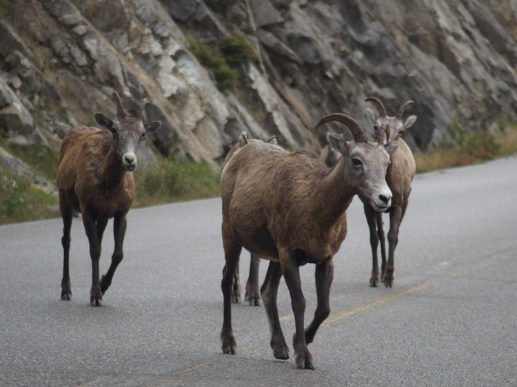
Our first surprise was seeing this herd of bighorn sheep walking down the road!
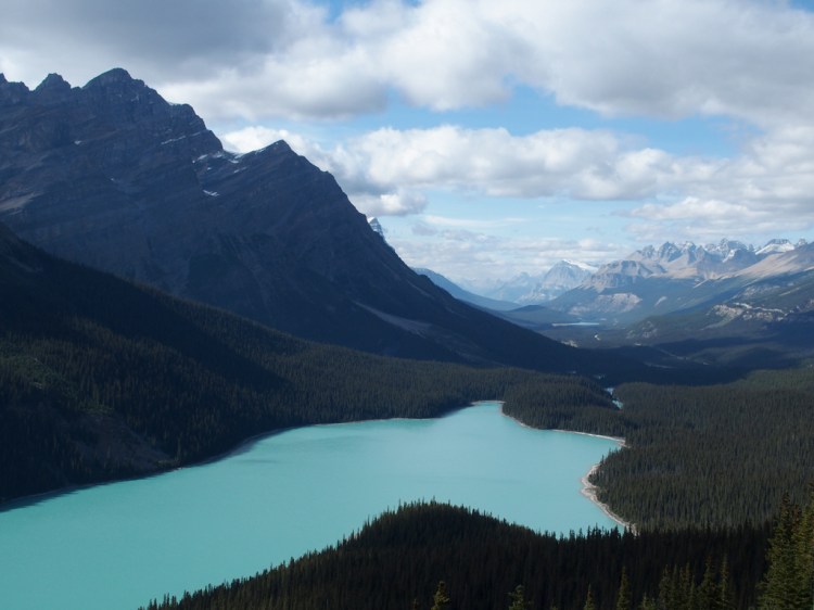
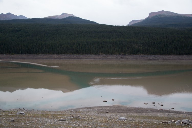
Then we saw a fascinating waterbody. It was a wide shallow lake with a brilliant turquoise river branching through it. It was really beautiful.
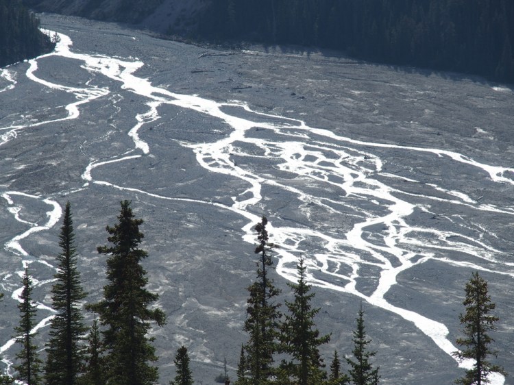
We learned that this lake was named Medicine Lake by aboriginal people because of its seemingly magical powers. The lake behaves unusually due to its unique drainage system — the water exits through sinkholes in the bottom, rather than a visible outlet. In the warm summer months, glaciers melt more quickly, increasing the flow of the Maligne River. The river fills the lake faster than water can leave the sinkholes. This gives Medicine Lake the appearance of a traditional alpine lake. In the colder months, incoming melt water slows and the lake begins to disappear through the sinkholes. The lake then becomes a mudflat with scattered pools. We were happy to witness Medicine Lake’s in-between stage.
We continued driving and reached an almost completely deserted Maligne Lake. Though the clouds remained and no stars could be seen, it was a lovely spot. We walked around the lake’s edge until it started raining harder.