Day 137-140: Good Friends, Old and New

20120908-180050.jpg

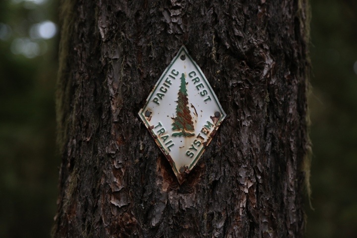
Day 137: Snag Creek (Mile 2174.5)-Near Big Huckleberry Mountain (Mile 2197.5); 23 miles

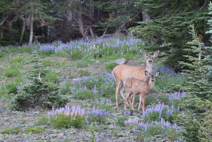
We began the day with a 1500 foot climb, then immediately dropped, losing all the elevation we had just gained. Washington was already showing us its steepness and greenery.

20120908-152611.jpg

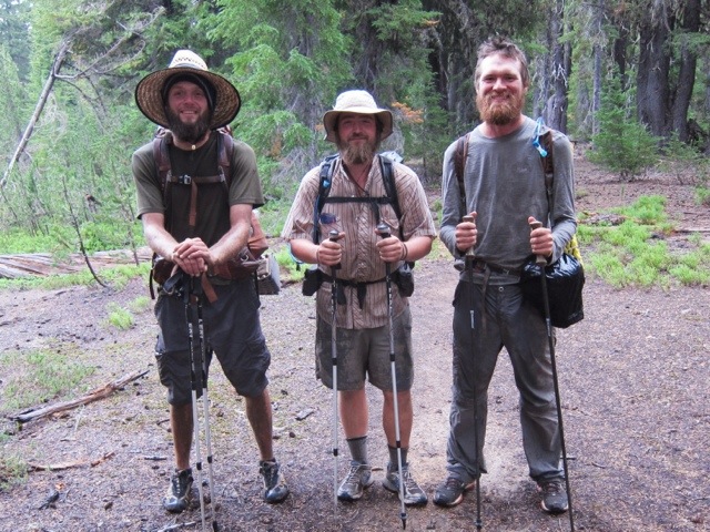
Close to lunchtime, we ran into North Star’s friend Stephen coming towards us on the trail! We had arranged to meet him, but planning on-trail meetings can be challenging. We were excited that it worked out.

Day 129-132: Snow Fields to Sand Dunes

20120831-122458.jpg

Day 129: Near North Cinder Peak (Mile 2025.5)-Near Ruddy Hill (Mile 2049); 23.5 miles

A doe and her fawn visited us early in the morning, snacking on some of the nearby flowers.

20120831-114808.jpg

In a few miles, we reached Russell Creek. Our map marked this creek as a possible ford. We were surprised to find the creek buried under a few feet of snow. Instead of walking through the water, we walked above it on a snow bridge. A solid snow bridge works as well as a wooden one.

Day 121-124: Fire and Rain

20120822-153355.jpg

Day 121: Near Tipsoo Creek (Mile 1869.5)-Near Timpanogas Lake (Fire detour, off trail); 28 miles

Since it was North Star’s 28th birthday, we decided to walk 28 miles. We began the day on the PCT, but a couple miles in, the trail was closed due to a forest fire. We were prepared and already had the map of the reroute, which initially led us through a forested area.

20120822-153946.jpg

As the detour continued, it turned off a trail and onto a gravel road.