Day 129-132: Snow Fields to Sand Dunes

20120831-122458.jpg

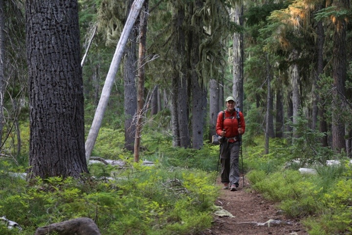
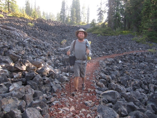
Day 129: Near North Cinder Peak (Mile 2025.5)-Near Ruddy Hill (Mile 2049); 23.5 miles

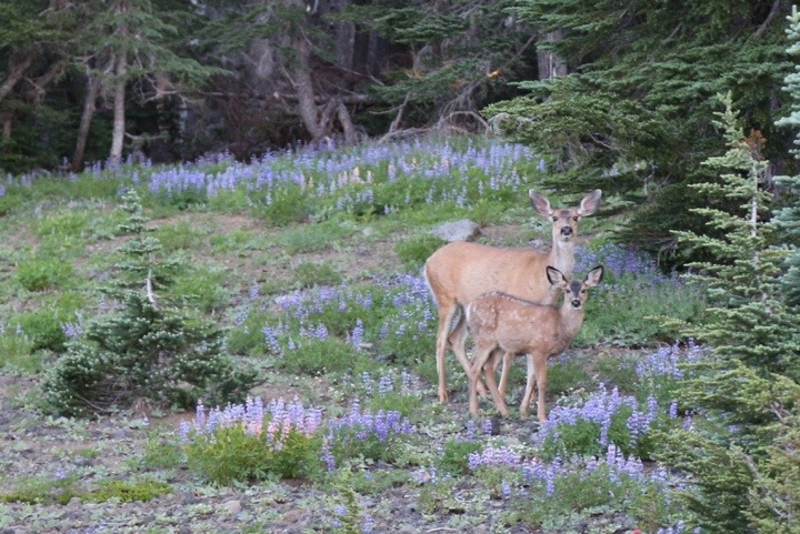
A doe and her fawn visited us early in the morning, snacking on some of the nearby flowers.

20120831-114808.jpg

In a few miles, we reached Russell Creek. Our map marked this creek as a possible ford. We were surprised to find the creek buried under a few feet of snow. Instead of walking through the water, we walked above it on a snow bridge. A solid snow bridge works as well as a wooden one.

Day 125-128: Picturing the Three Sisters Wilderness

In the past four days, we witnessed some of the most beautiful and varied scenery the Pacific Crest Trail has to offer. Below we share the visual story of our journey through the Three Sisters Wilderness, Mt. Washington Wilderness, and Mt. Jefferson Wilderness. Happy viewing!

Day 125: Desane Lake (Mile 1948)-Near Rock Mesa (Mile 1970); 22 miles

20120826-161956.jpg

Day 116-120: Volcanic Peaks and Craters

20120817-053145.jpg

Day 116: Near Brown Cabin (Mile 1771)-Below Imagination Peak (Mile 1796.5); 25.5 miles

In our morning’s walk, the Pacific Crest Trail, covered with small red rocks, wound through large grey lava rocks, creating a striking contrast.

20120816-215853.jpg

Bone Lady caught up with us and we walked together for a few miles. As we hiked, Mt McLaughlin came into view.